How the land heals after wildfires
A burn scar is not the end of the story. For the biggest fires we track, one Sentinel-2 satellite image per year — always in the same season — shows how the vegetation returns. Open a fire and drag the slider between years.
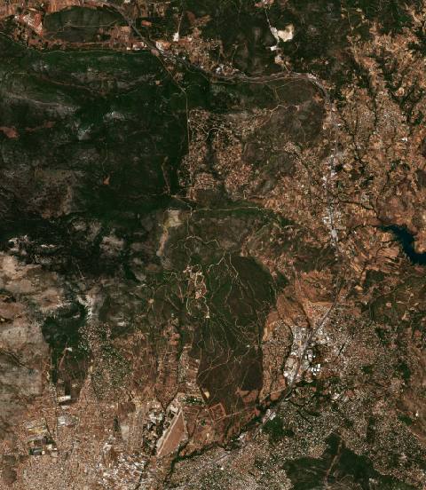 near Ágios Stéfanos, Greece6717 hectares · 6 years
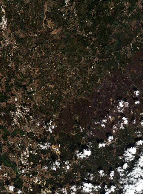 near Águeda, Portugal12,916 hectares · 11 years
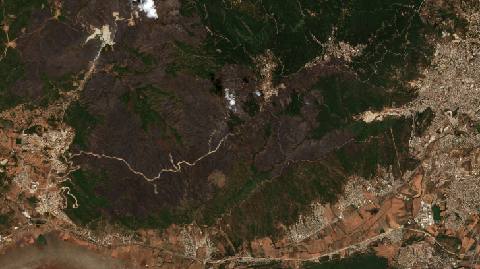 near Ahmed Bel Hadj, Algeria7390 hectares · 10 years
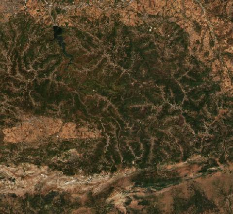 near ’Aïn el Hammam, Algeria26,774 hectares · 6 years
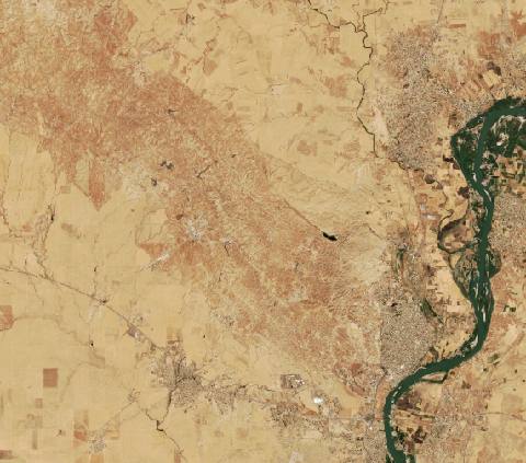 near Al Qayyārah, Iraq5802 hectares · 11 years
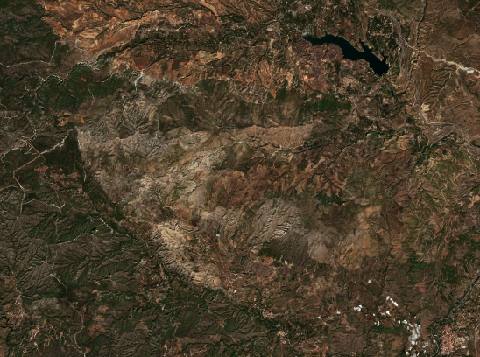 near Albuñuelas, Spain5826 hectares · 5 years
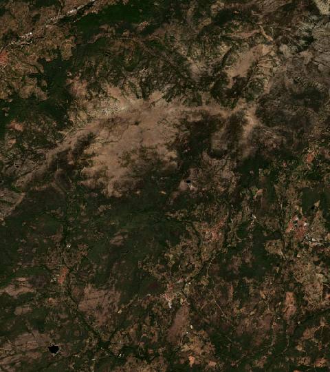 near Aldeanueva de la Vera, Spain5546 hectares · 7 years
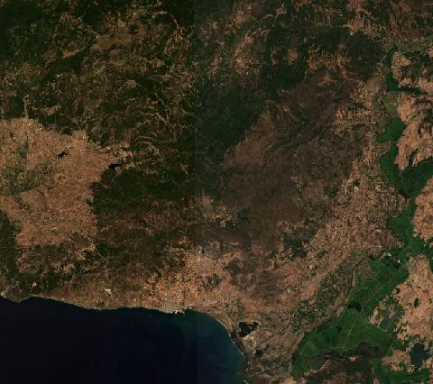 near Alexandroupoli, Greece83,458 hectares · 4 years
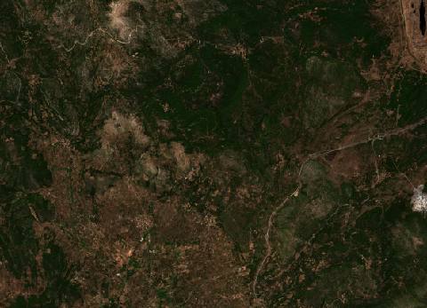 near Andanía, Greece5661 hectares · 6 years
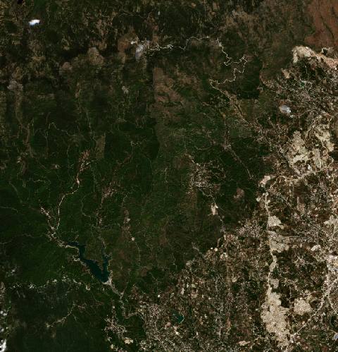 near Antakya, Turkey6534 hectares · 7 years
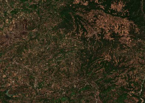 near Archaía Olympía, Greece5732 hectares · 5 years
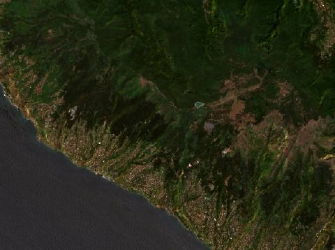 near Arco da Calheta, Portugal5247 hectares · 11 years
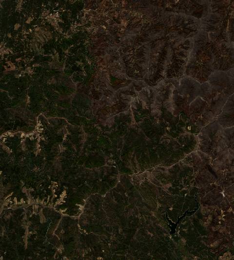 near Arganil, Portugal12,273 hectares · 9 years
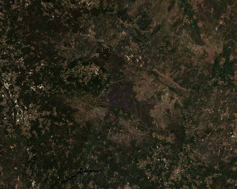 near Arouca, Portugal66,776 hectares · 11 years
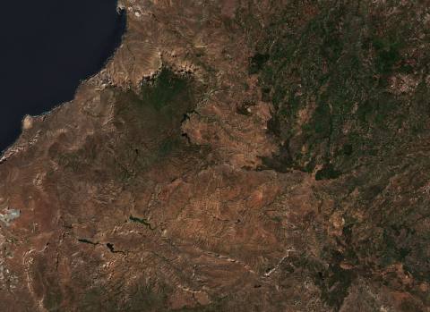 near Artenara, Spain12,879 hectares · 8 years
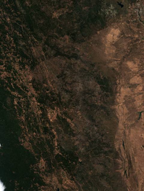 in Northern California (August Complex), United States449,041 hectares · 7 years
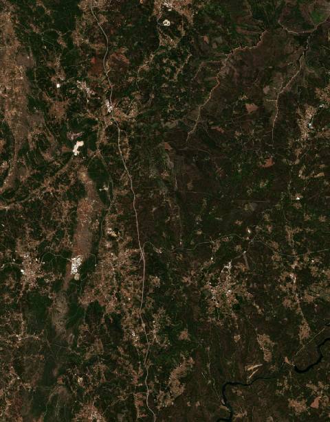 near Avelar, Portugal13,597 hectares · 10 years
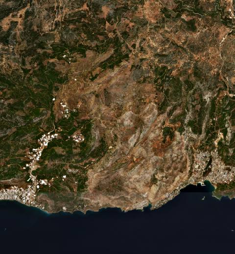 near Aydıncık, Turkey12,397 hectares · 6 years
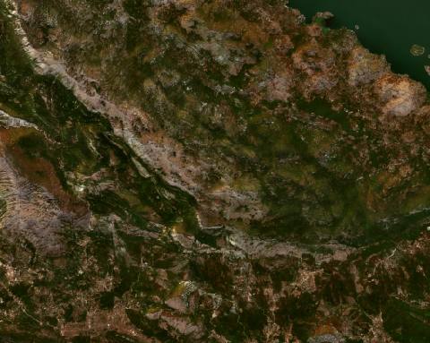 near Bar, Montenegro4288 hectares · 10 years
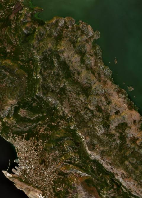 near Bar, Montenegro6158 hectares · 10 years
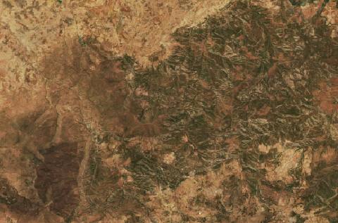 near Barbouche, Algeria10,817 hectares · 7 years
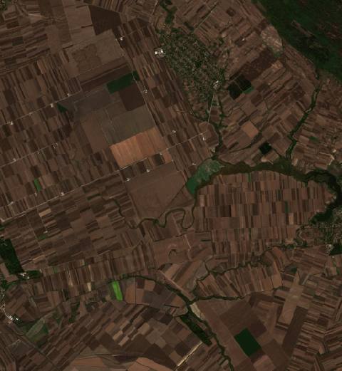 near Bavanište, Serbia2451 hectares · 6 years
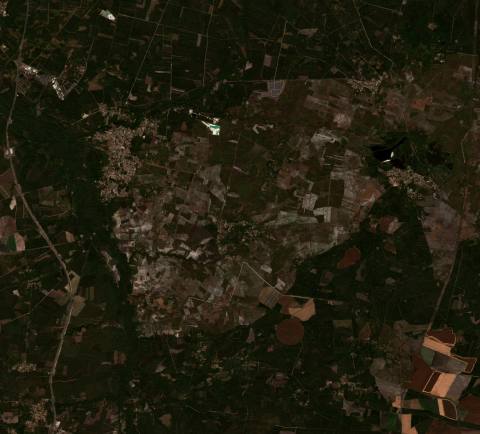 near Belin-Béliet, France9854 hectares · 5 years
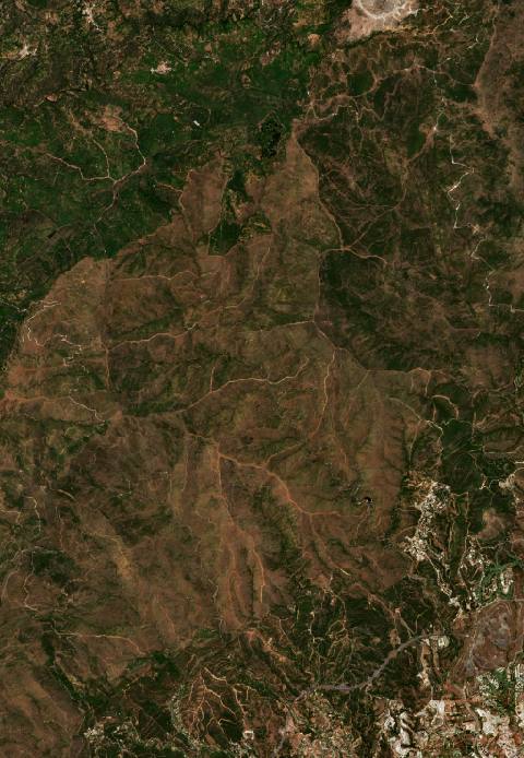 near Benahavís, Spain5890 hectares · 5 years
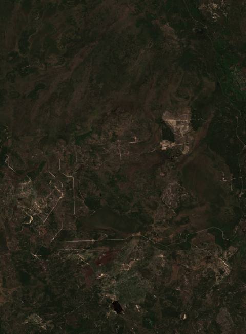 near Berezove, Ukraine12,304 hectares · 8 years
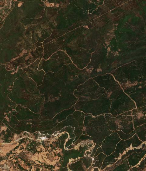 near Besbes, Algeria8331 hectares · 10 years
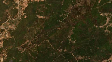 near Besbes, Algeria7457 hectares · 5 years
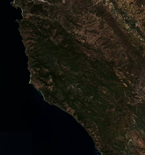 in United States55,863 hectares · 10 years
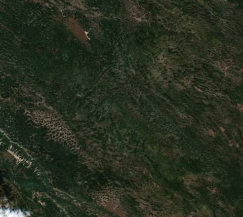 near Bileća, Bosnia and Herzegovina3172 hectares · 10 years
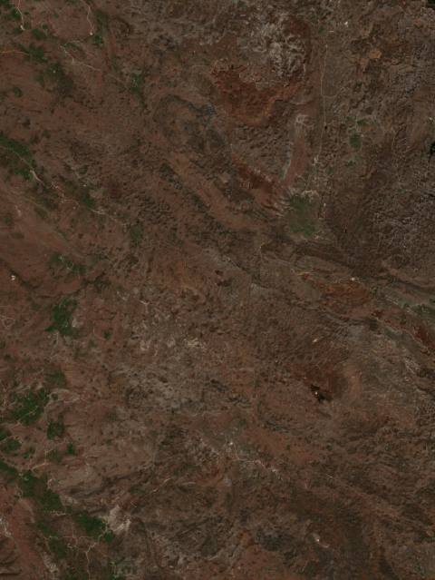 near Bileća, Bosnia and Herzegovina2605 hectares · 8 years
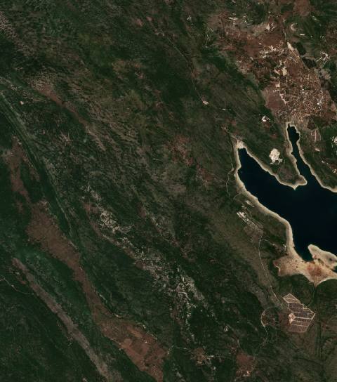 near Bileća, Bosnia and Herzegovina4066 hectares · 6 years
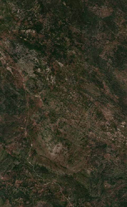 near Bileća, Bosnia and Herzegovina3195 hectares · 6 years
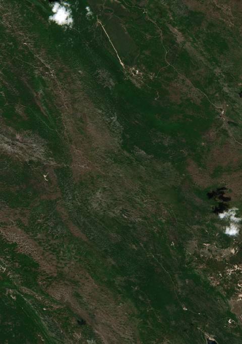 near Bileća, Bosnia and Herzegovina5242 hectares · 5 years
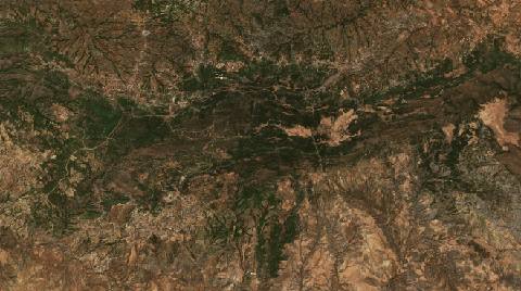 near Bordj Zemoura, Algeria5840 hectares · 7 years
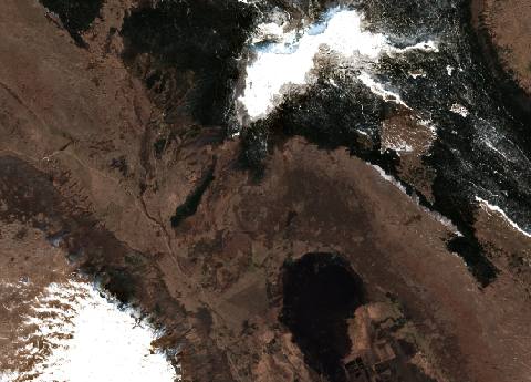 near Bosansko Grahovo, Bosnia and Herzegovina3534 hectares · 5 years
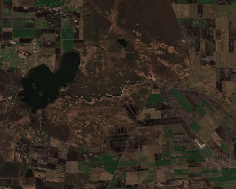 near Byelaazyorsk, Belarus6102 hectares · 7 years
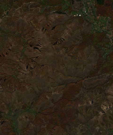 near Bytyç, Albania4014 hectares · 7 years
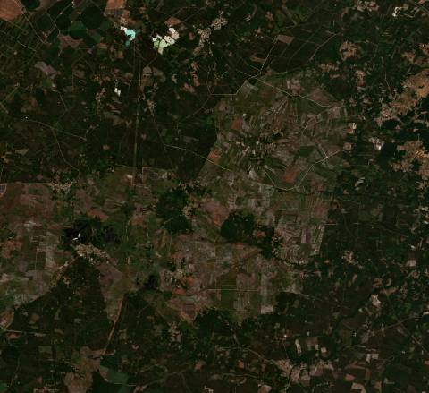 near Cabanac-et-Villagrains, France16,558 hectares · 5 years
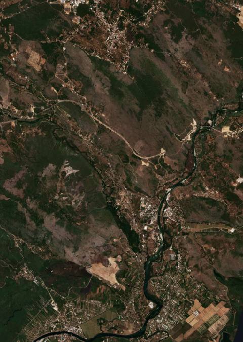 near Čapljina, Bosnia and Herzegovina2851 hectares · 10 years
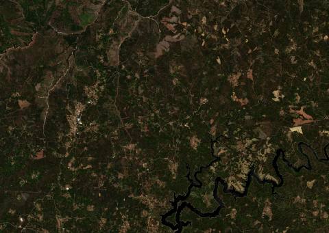 near Castanheira de Pera, Portugal8900 hectares · 10 years
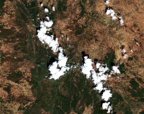 near Chefchaouen, Morocco7007 hectares · 5 years
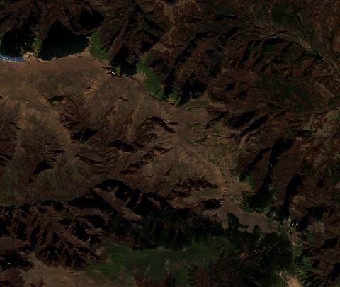 near Chiprovtsi, Bulgaria4157 hectares · 7 years
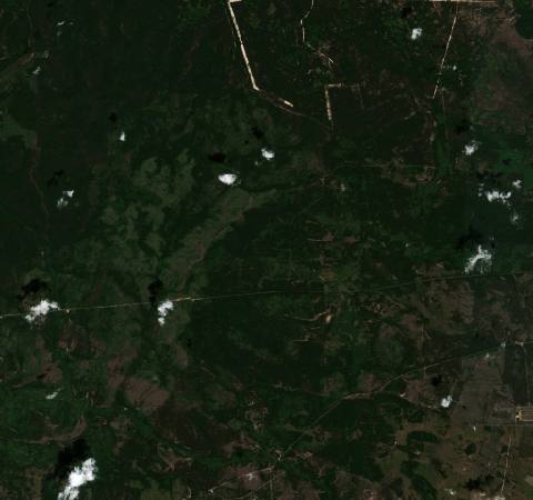 near Chornobyl, Ukraine8814 hectares · 7 years
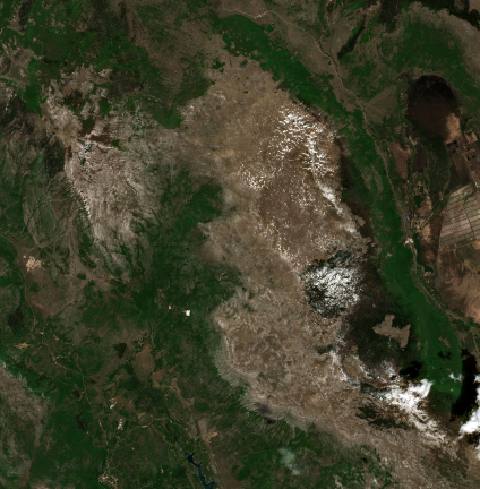 near Civljane, Dalmatia, Croatia13,543 hectares · 7 years
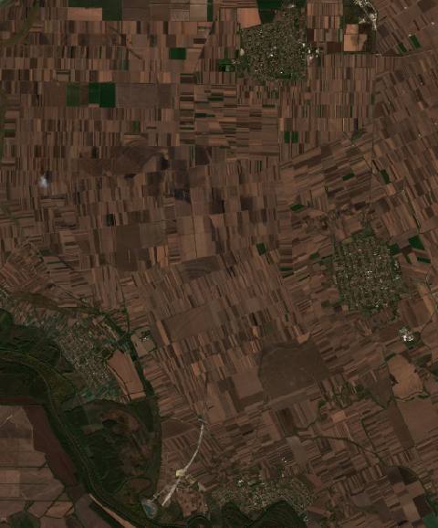 near Crepaja, Serbia4207 hectares · 8 years
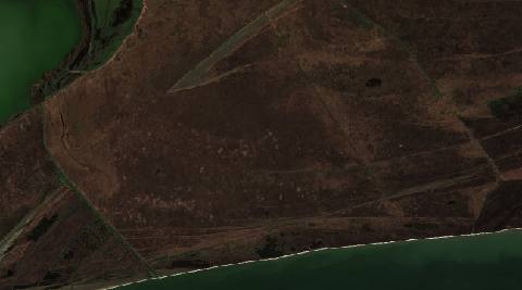 near Crişan, Romania2971 hectares · 10 years
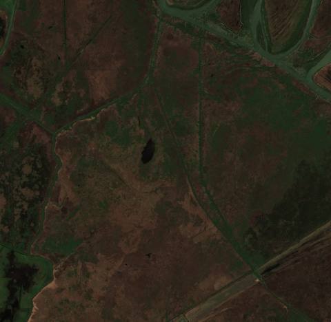 near Crişan, Romania2290 hectares · 7 years
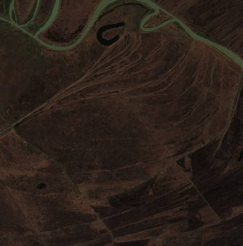 near Crişan, Romania4357 hectares · 5 years
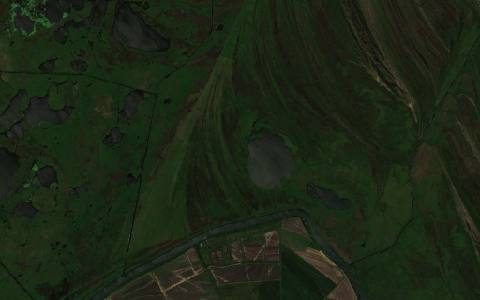 near Crișan, Romania2277 hectares · 5 years
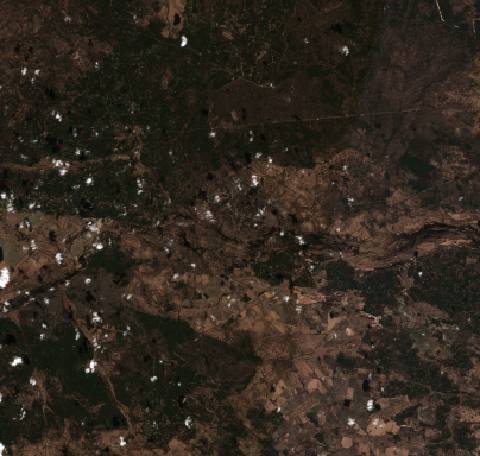 in the Chernobyl exclusion zone, Ukraine42,660 hectares · 7 years
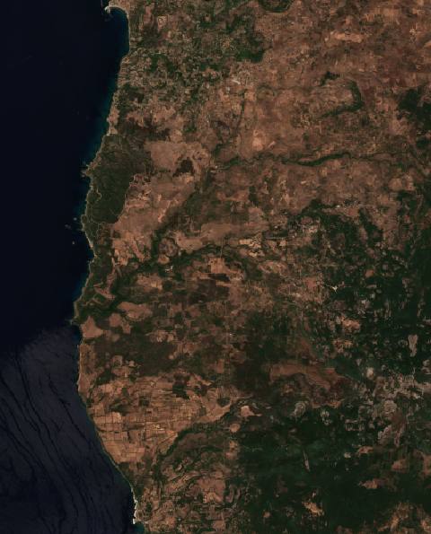 near Cuglieri, Italy10,384 hectares · 6 years
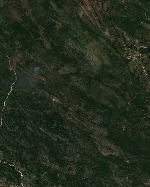 near Danilovgrad, Montenegro8745 hectares · 10 years
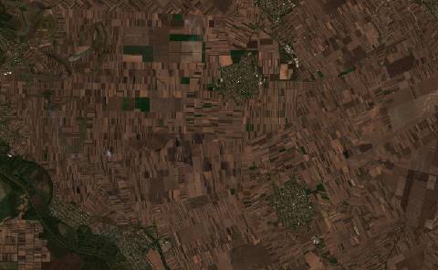 near Debeljača, Serbia5952 hectares · 7 years
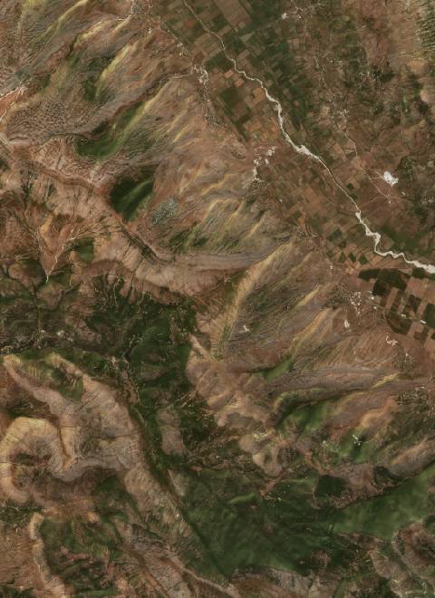 near Delvinë, Albania5291 hectares · 10 years
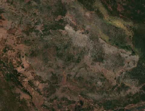 near Donji Muć, Croatia3809 hectares · 10 years
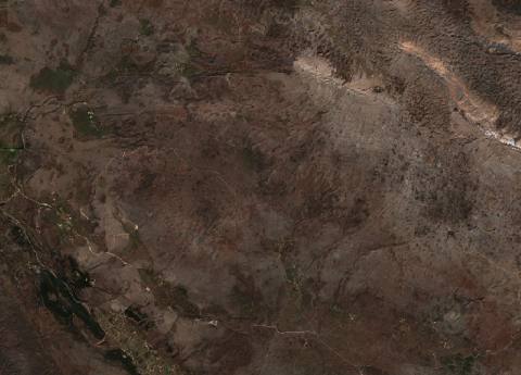 near Donji Muć, Croatia2806 hectares · 5 years
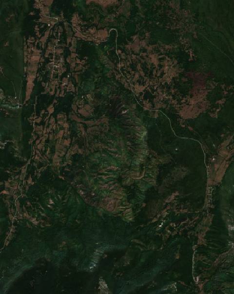 near Drvar, Bosnia and Herzegovina2446 hectares · 10 years
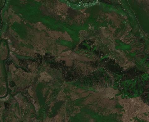 near Drvar, Bosnia and Herzegovina2095 hectares · 7 years
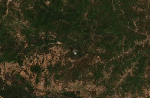 near el hed, Algeria10,052 hectares · 6 years
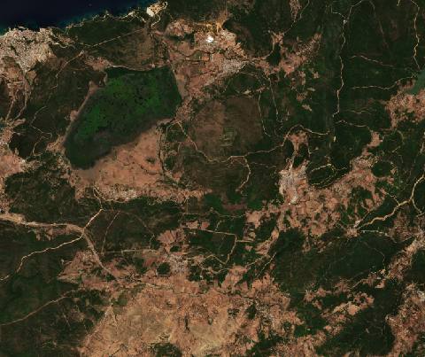 near El Kala, Algeria7184 hectares · 10 years
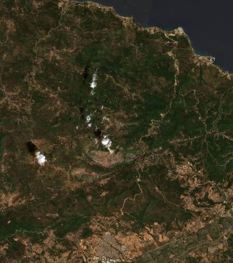 near El Kseur, Algeria8426 hectares · 6 years
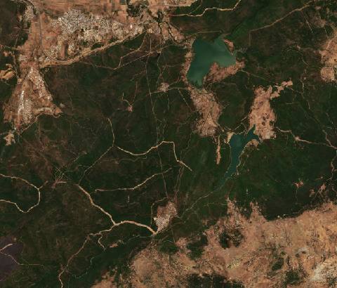 near El Tarf, Algeria6718 hectares · 10 years
 near Encinedo, Spain10,743 hectares · 10 years
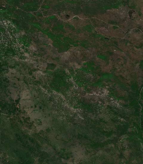 near Ervenik, Croatia5714 hectares · 7 years
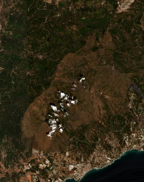 near Estepona, Spain11,481 hectares · 6 years
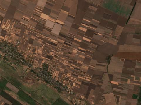 near Fântânele, Romania2032 hectares · 8 years
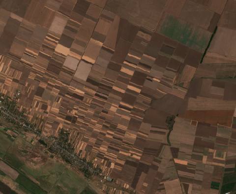 near Fântânele, Romania2107 hectares · 6 years
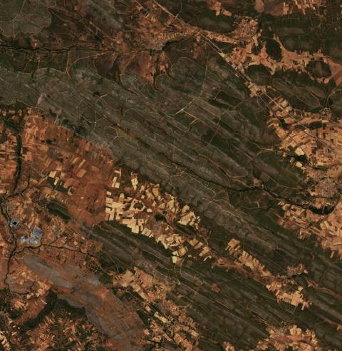 near Ferreruela, Spain9360 hectares · 5 years
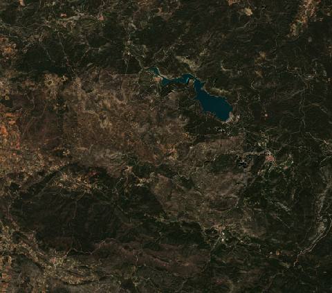 near Fuente la Reina, Spain5420 hectares · 4 years
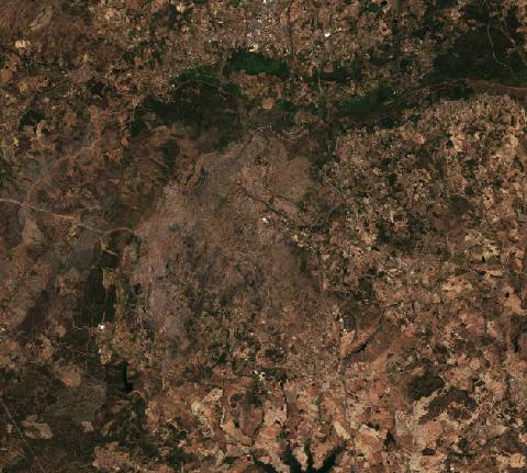 near Fundão, Portugal6566 hectares · 10 years
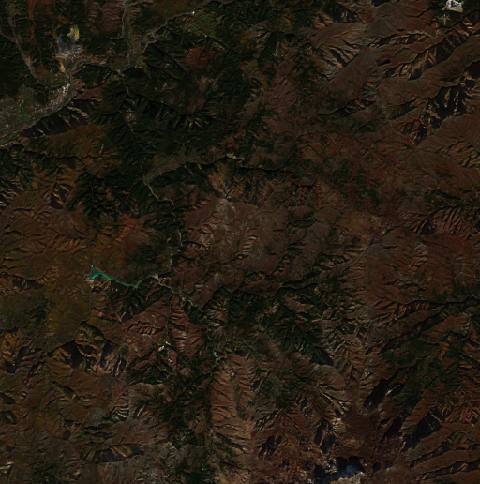 near Fushë-Arrëz, Albania3140 hectares · 8 years
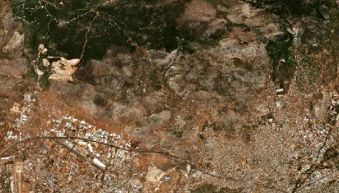 near Fylí, Greece5932 hectares · 4 years
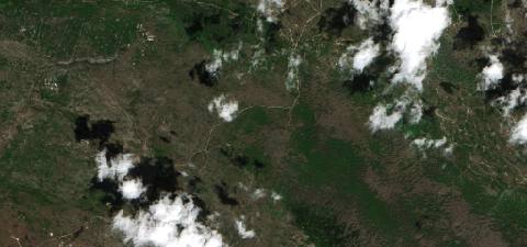 near Gacko, Bosnia and Herzegovina2146 hectares · 5 years
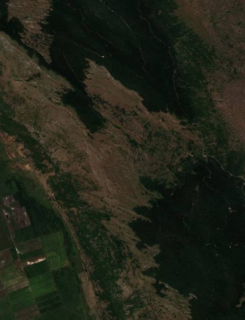 near Glamoč, Bosnia and Herzegovina3181 hectares · 10 years
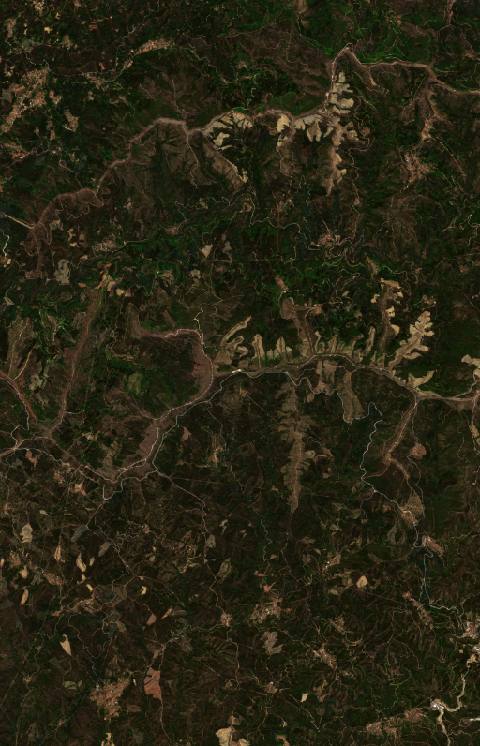 near Góis, Portugal7223 hectares · 10 years
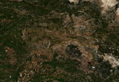 near Gündoğmuş, Turkey17,405 hectares · 6 years
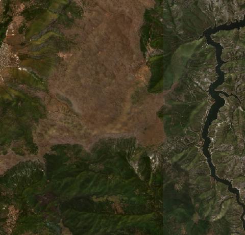 near Gurgurnica, North Macedonia5556 hectares · 10 years
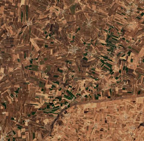 near Gyundyukoru, Turkey7739 hectares · 10 years
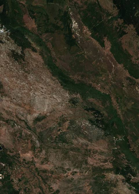 in the hills behind Split, Croatia14,097 hectares · 10 years
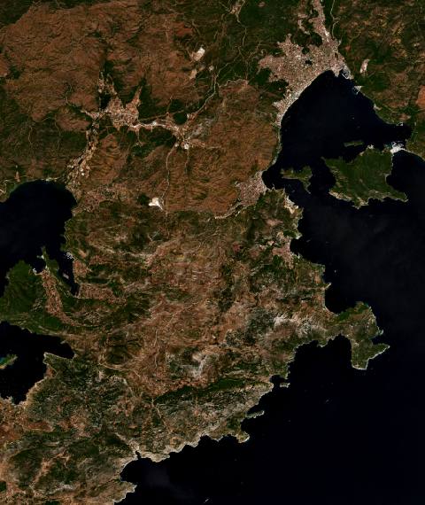 near İçmeler, Turkey12,939 hectares · 6 years
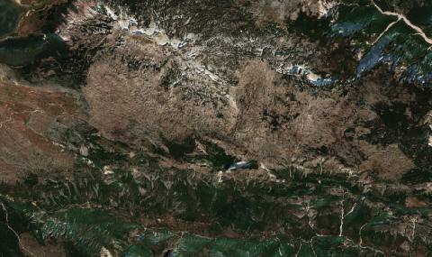 near Jablanica, Bosnia and Herzegovina4181 hectares · 10 years
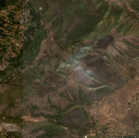 near Jegunovce, North Macedonia2277 hectares · 10 years
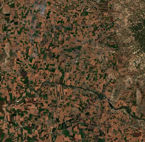 near Kadirli, Turkey9628 hectares · 9 years
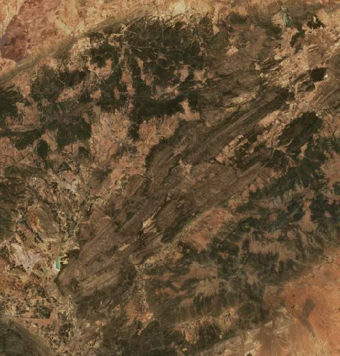 near Kaïs, Algeria9221 hectares · 6 years
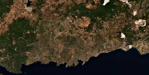 near Karaova, Turkey15,569 hectares · 6 years
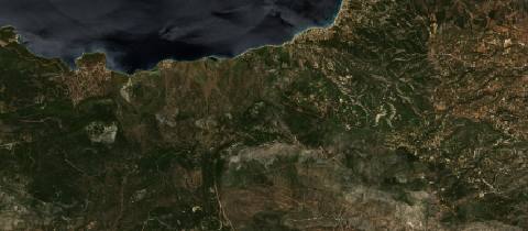 near Kinéta, Greece7960 hectares · 6 years
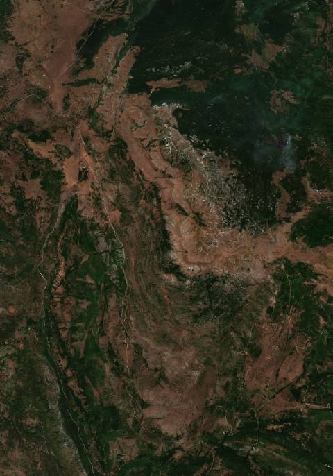 near Knin, Croatia5698 hectares · 10 years
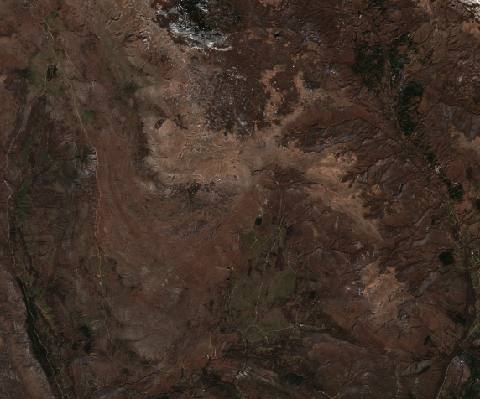 near Knin, Croatia4893 hectares · 5 years
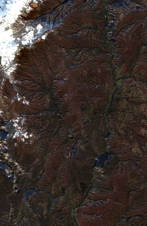 near Kolašin, Montenegro2252 hectares · 5 years
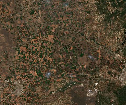 near Kösreli, Turkey26,047 hectares · 12 years
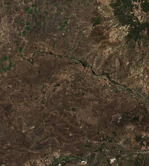 near Kösreli, Turkey11,346 hectares · 10 years
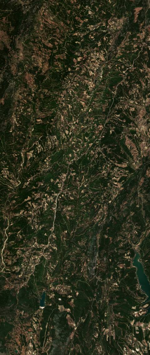 near Kozan, Turkey5118 hectares · 7 years
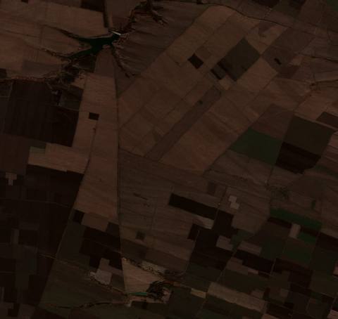 near Kozloduy, Bulgaria2679 hectares · 9 years
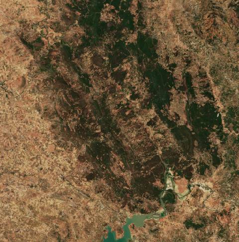 near Ksar El Kebir, Morocco14,379 hectares · 5 years
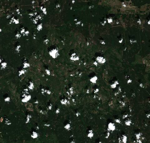 near Kvartsytne, Ukraine25,082 hectares · 7 years
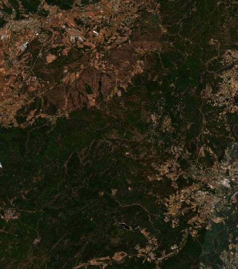 near La Garde-Freinet, France9316 hectares · 6 years
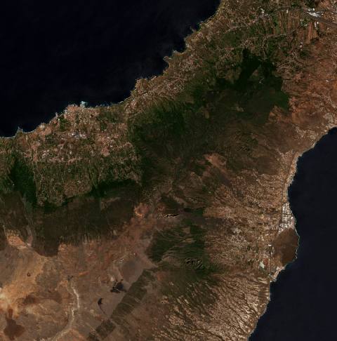 near La Orotava, Spain16,337 hectares · 4 years
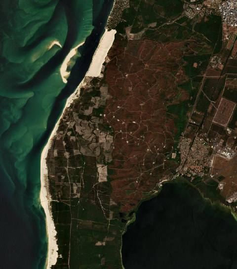 near La Teste-de-Buch, France5456 hectares · 5 years
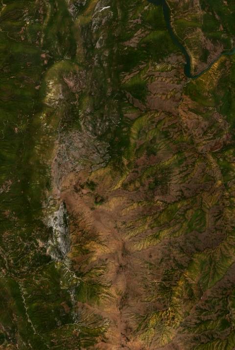 near Laç, Albania2304 hectares · 10 years
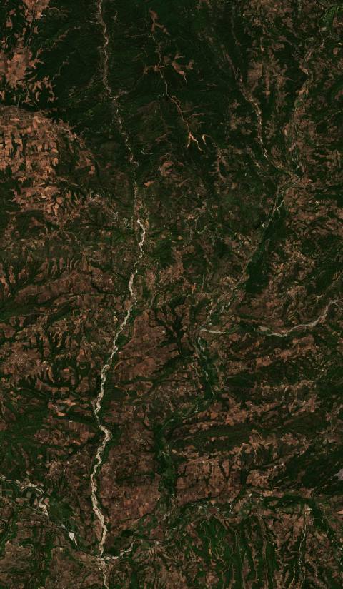 near Lálas, Greece6749 hectares · 6 years
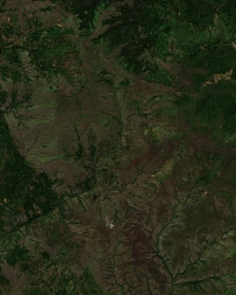 near Leposaviq, Kosovo2093 hectares · 6 years
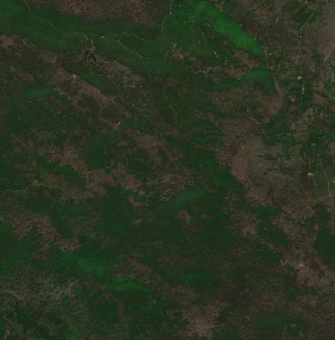 near Lički Osik, Croatia2024 hectares · 7 years
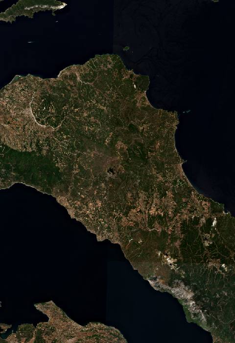 near Límni, Greece103,840 hectares · 6 years
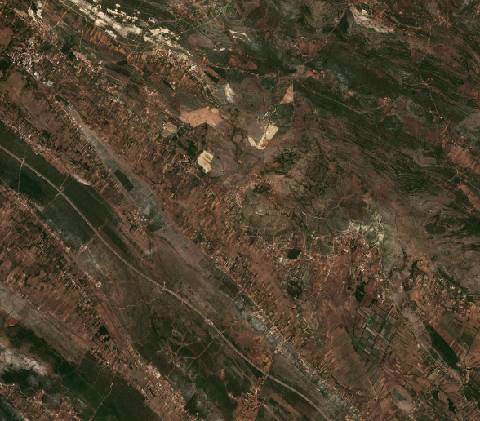 near Lišane Ostrovičke, Croatia5708 hectares · 10 years
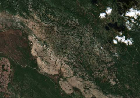 near Ljubinje, Bosnia and Herzegovina4401 hectares · 10 years
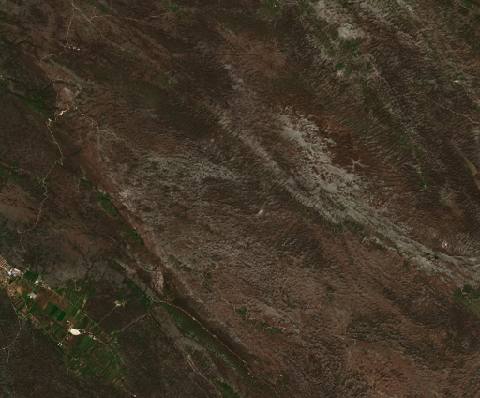 near Ljubinje, Bosnia and Herzegovina4940 hectares · 7 years
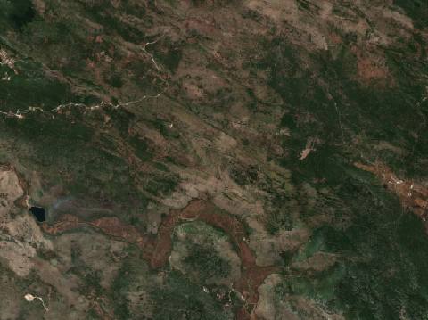 near Ljubinje, Bosnia and Herzegovina7551 hectares · 6 years
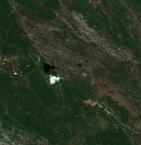 near Ljubinje, Bosnia and Herzegovina3301 hectares · 5 years
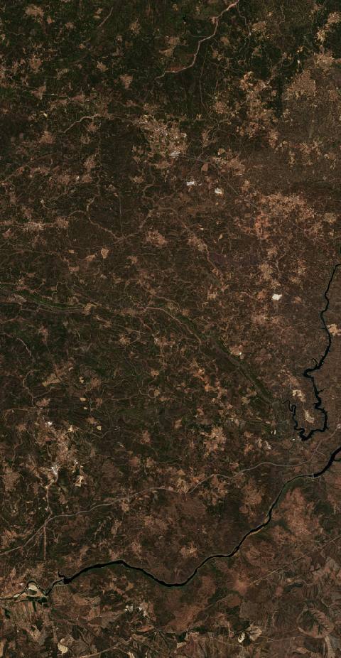 near Mação, Portugal21,438 hectares · 10 years
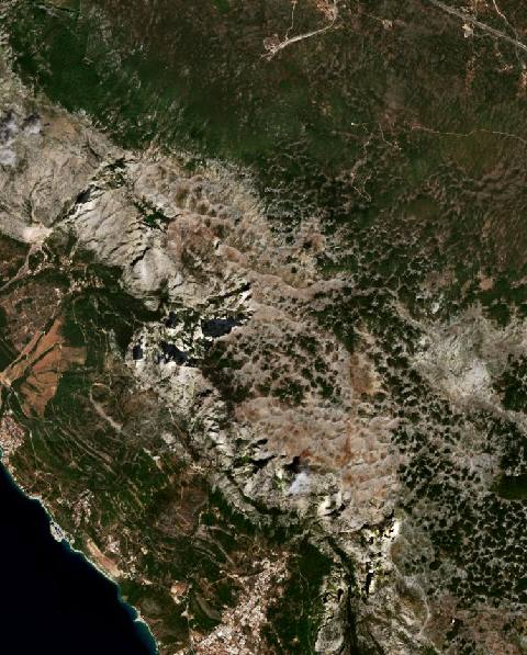 near Makarska, Croatia2012 hectares · 10 years
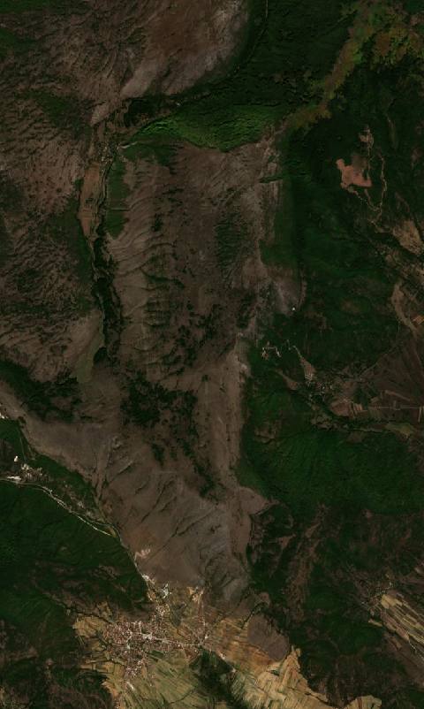 near Makedonski Brod, North Macedonia2067 hectares · 8 years
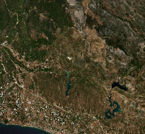 near Manavgat, Turkey66,596 hectares · 6 years
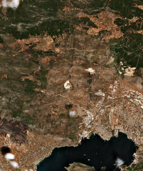 near Mándra, Greece11,670 hectares · 4 years
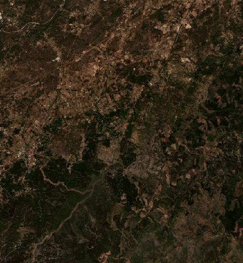 near Manteigas, Portugal9044 hectares · 9 years
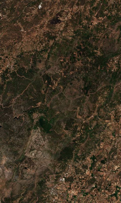 near Manteigas, Portugal18,368 hectares · 5 years
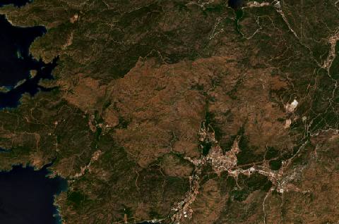 near Marmaris, Turkey5572 hectares · 5 years
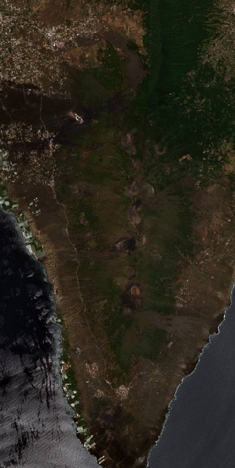 near Mazo, Spain6435 hectares · 11 years
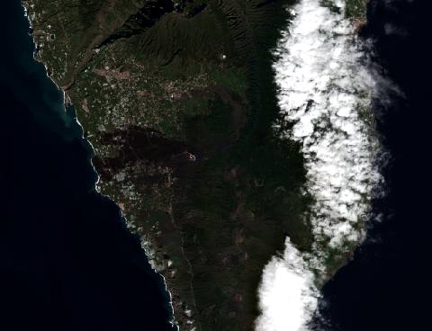 near Mazo, Spain18,630 hectares · 5 years
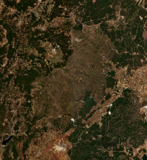 near Menderes, Turkey8623 hectares · 8 years
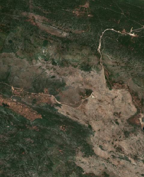 near Metković, Croatia2095 hectares · 5 years
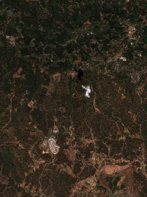 near Monchique, Portugal5443 hectares · 11 years
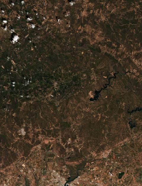 near Monchique, Portugal22,873 hectares · 9 years
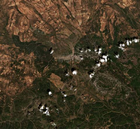 near Monsagro, Spain13,249 hectares · 5 years
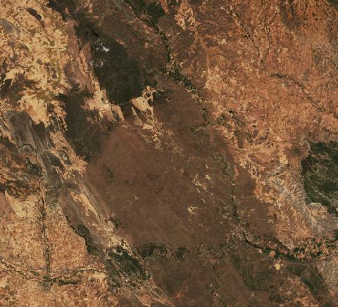 near Moros, Spain11,807 hectares · 5 years
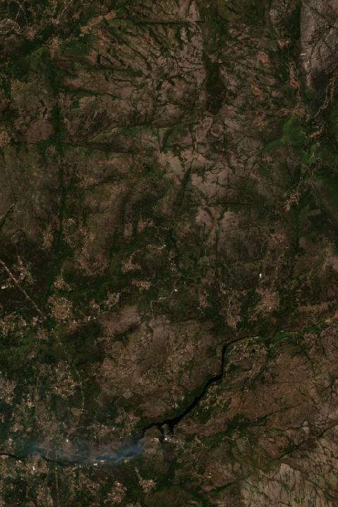 near Mozelos, Portugal7529 hectares · 11 years
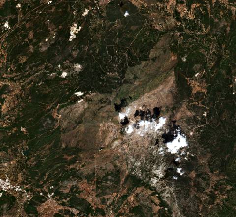 near Muğla, Turkey16,155 hectares · 6 years
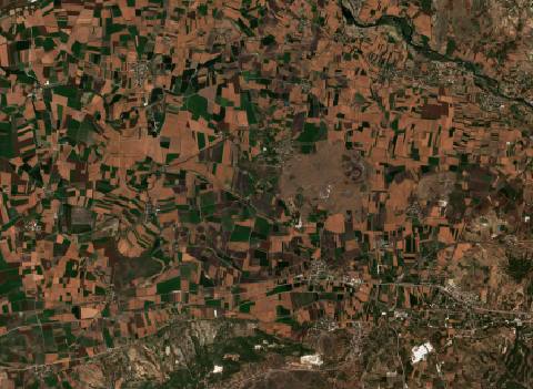 near Mustafabeyli, Turkey7207 hectares · 9 years
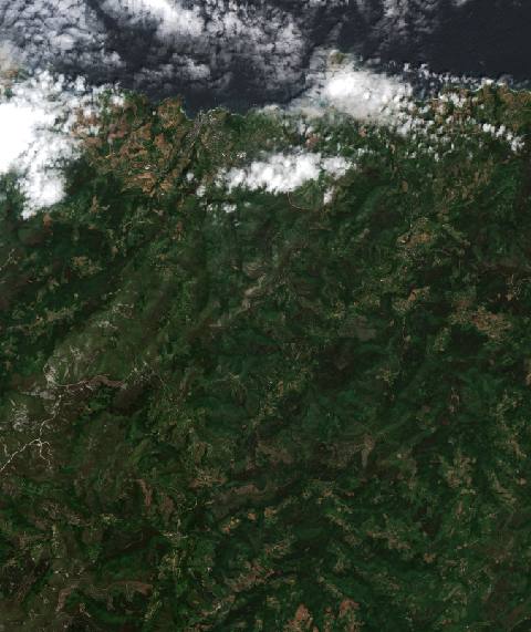 near Navia, Spain8057 hectares · 4 years
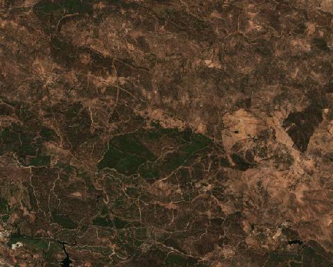 near Nerva, Spain5201 hectares · 10 years
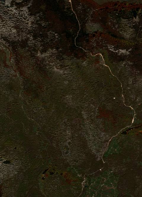 near Nikšić, Montenegro3766 hectares · 9 years
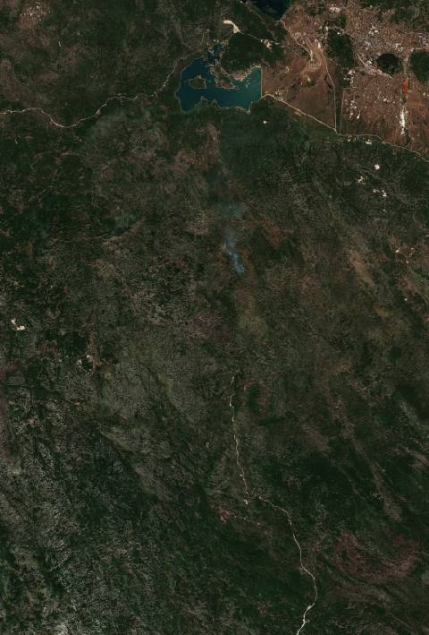 near Nikšić, Montenegro17,703 hectares · 6 years
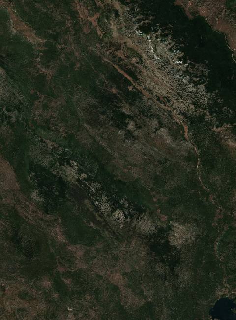 near Nikšić, Montenegro10,128 hectares · 6 years
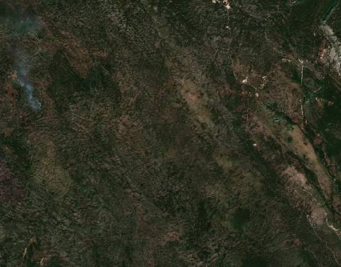 near Nikšić, Montenegro2904 hectares · 5 years
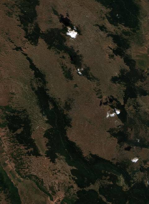 near Novo Selo, Bosnia and Herzegovina7099 hectares · 10 years
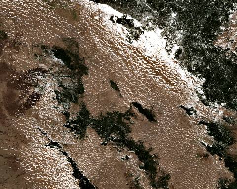 near Novo Selo, Bosnia and Herzegovina3586 hectares · 7 years
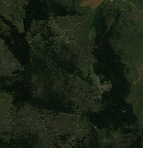 near Novo Selo, Bosnia and Herzegovina2051 hectares · 6 years
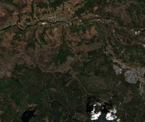 near O Barco de Valdeorras, Spain7186 hectares · 5 years
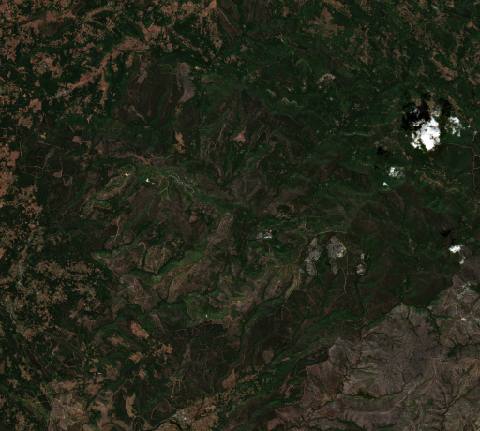 near O Incio, Spain17,610 hectares · 5 years
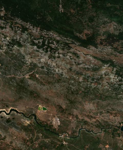 near Obrovac, Croatia3254 hectares · 10 years
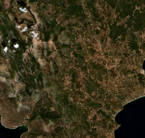 near Oítilon, Greece8551 hectares · 6 years
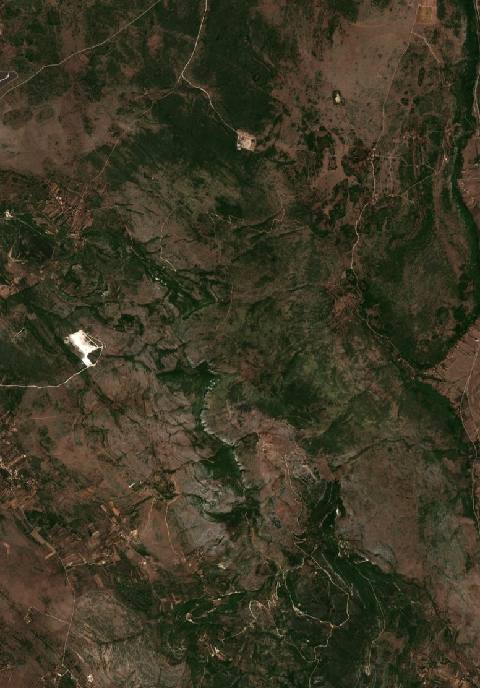 near Oklaj, Croatia2209 hectares · 10 years
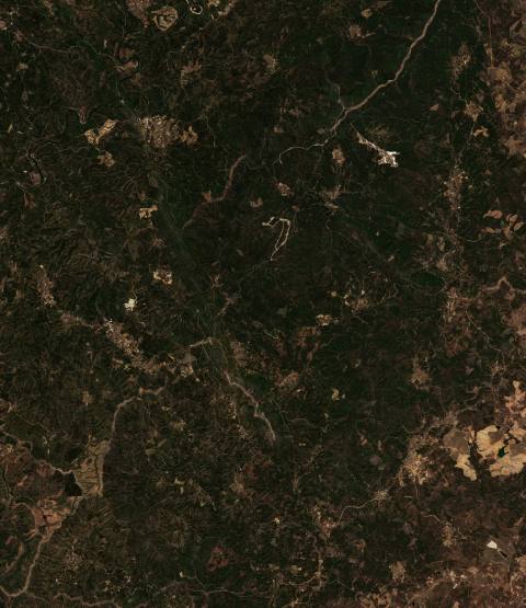 near Oleiros, Portugal9564 hectares · 10 years
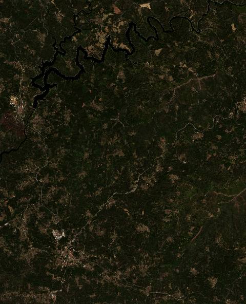 near Oleiros, Portugal10,228 hectares · 9 years
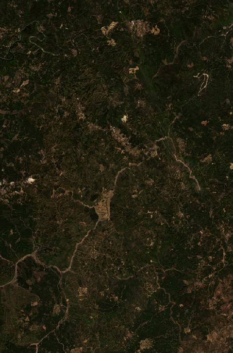 near Oleiros, Portugal7565 hectares · 6 years
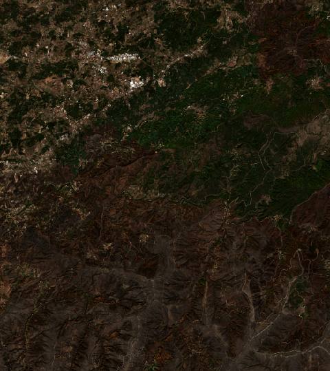 near Oliveira do Hospital, Portugal6739 hectares · 9 years
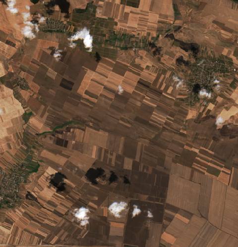 near Oprişor, Romania2084 hectares · 6 years
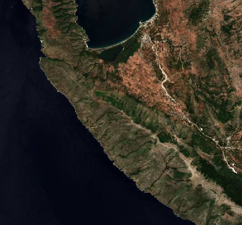 near Orikum, Albania7032 hectares · 6 years
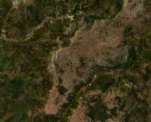 near Orosh, Albania5237 hectares · 10 years
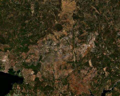 near Ortaca, Turkey12,127 hectares · 6 years
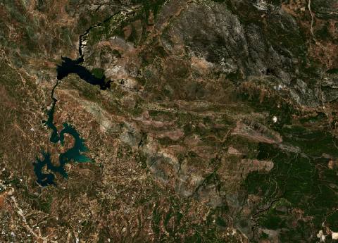 near Oymapınar, Turkey12,520 hectares · 6 years
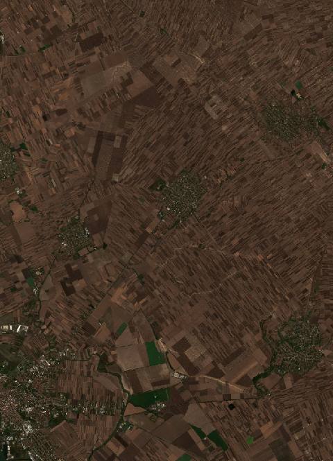 near Pančevo, Serbia7269 hectares · 7 years
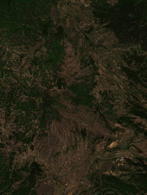 near Pehčevo, North Macedonia6343 hectares · 6 years
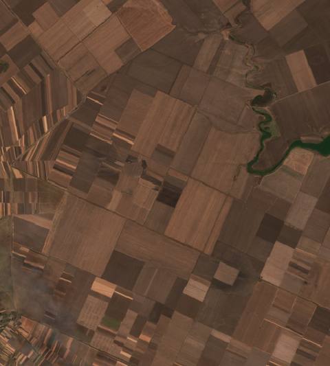 near Piatra, Romania2447 hectares · 7 years
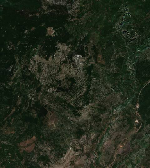 near Podgorica, Montenegro8101 hectares · 10 years
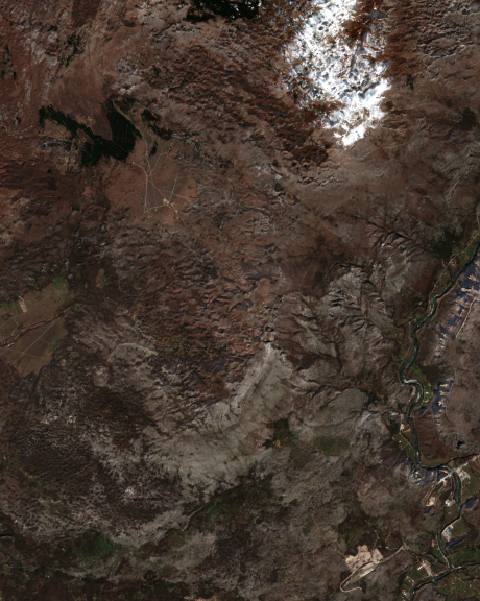 near Podgorica, Montenegro2458 hectares · 6 years
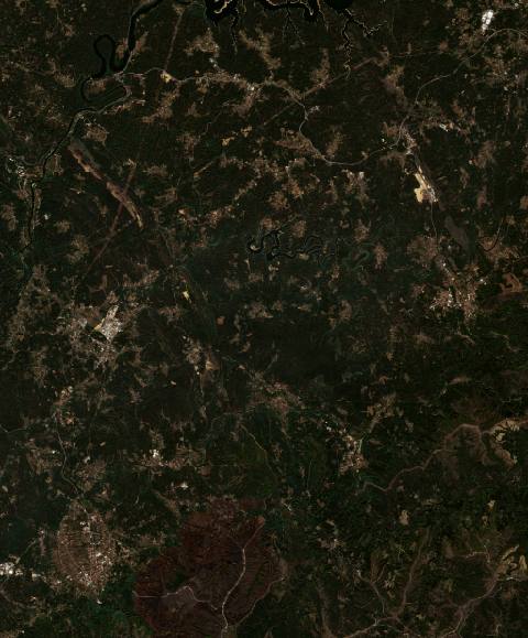 near Poiares, Portugal13,140 hectares · 9 years
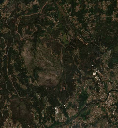 near Ponte de Lima, Portugal8743 hectares · 11 years
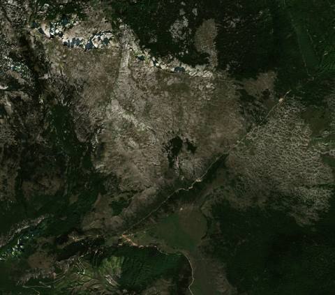 near Potoci, Bosnia and Herzegovina2530 hectares · 9 years
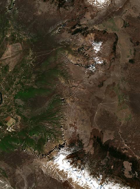 near Potoci, Bosnia and Herzegovina5991 hectares · 6 years
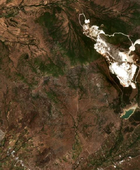 near Prilep, North Macedonia2091 hectares · 10 years
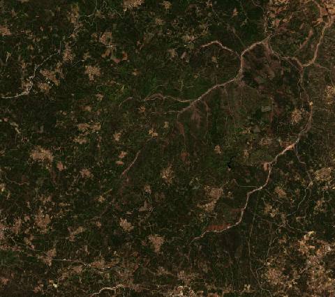 near Proença-a-Nova, Portugal6502 hectares · 7 years
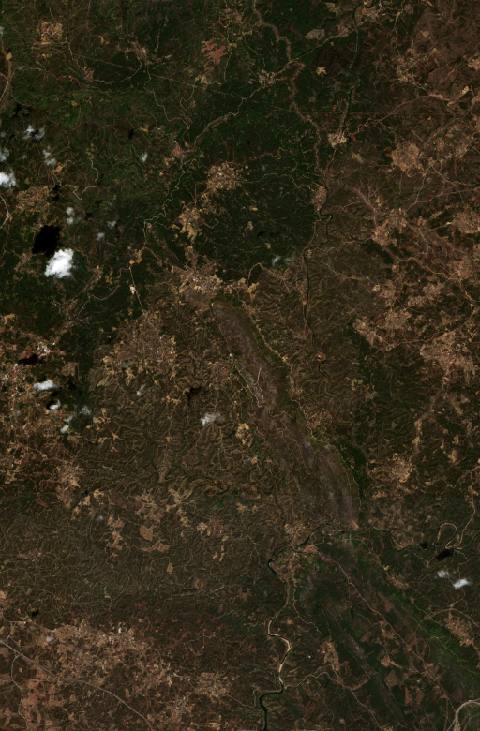 near Proença-a-Nova, Portugal5488 hectares · 4 years
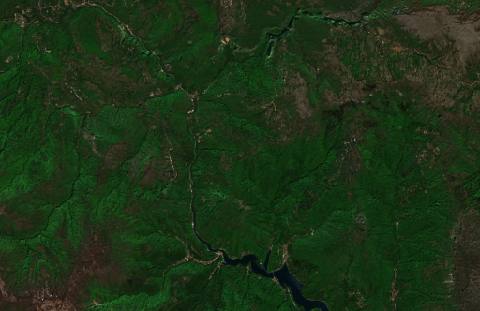 near Prozor, Bosnia and Herzegovina3017 hectares · 7 years
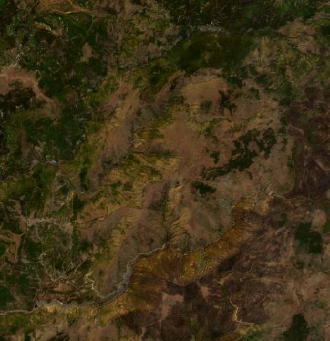 near Pukë, Albania3476 hectares · 6 years
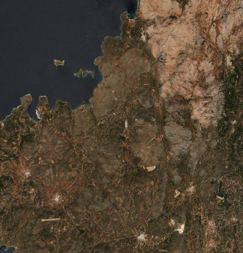 near Pyrgíon, Greece5180 hectares · 11 years
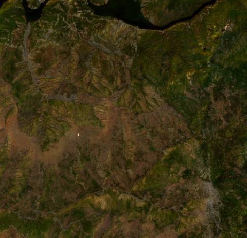 near Qerret, Albania2209 hectares · 10 years
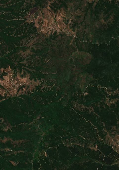 near Rajince, Serbia2097 hectares · 8 years
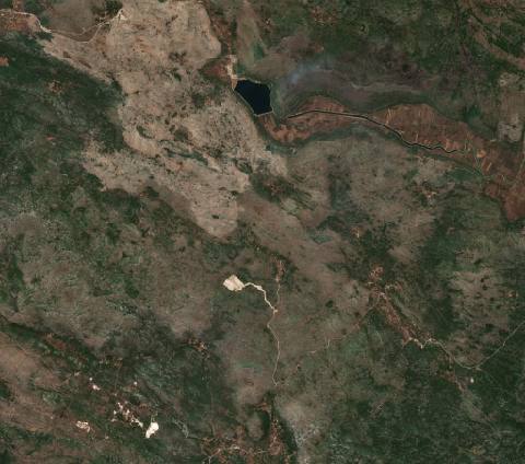 near Ravno, Bosnia and Herzegovina2783 hectares · 6 years
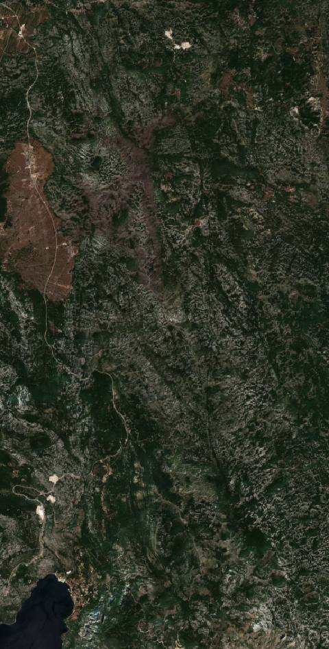 near Risan, Montenegro3593 hectares · 6 years
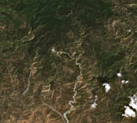 near Roccaforte del Greco, Italy8282 hectares · 6 years
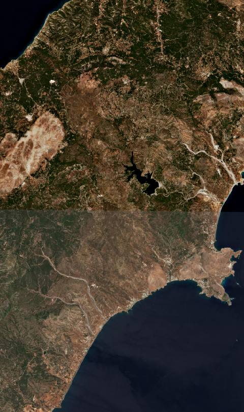 on Rhodes island, Greece18,617 hectares · 4 years
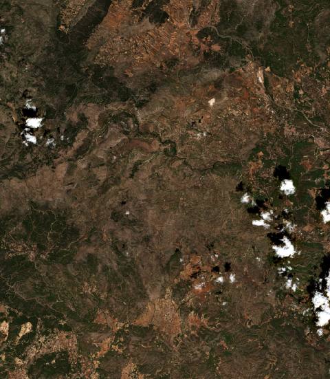 near Sacañet, Spain14,861 hectares · 5 years
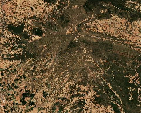 near San Martín de Unx, Spain7035 hectares · 5 years
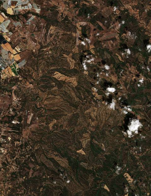 near São Teotónio, Portugal8606 hectares · 4 years
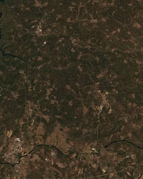 near Sardoal, Portugal12,966 hectares · 10 years
 near Shëngjin, Albania4241 hectares · 7 years
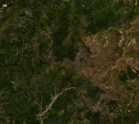 near Shënmëri, Albania6848 hectares · 6 years
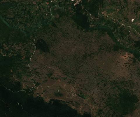 near Šipovo, Bosnia and Herzegovina2859 hectares · 10 years
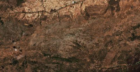 near Sotalbo, Spain21,353 hectares · 6 years
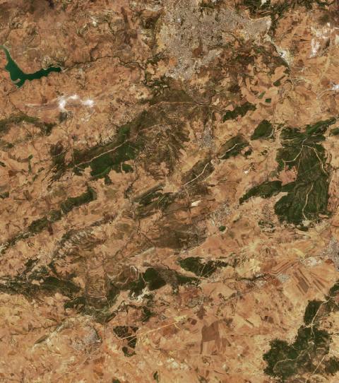 near Souk Ahras, Algeria9200 hectares · 5 years
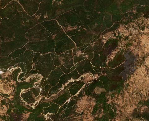 near Souk Ahras, Algeria6986 hectares · 5 years
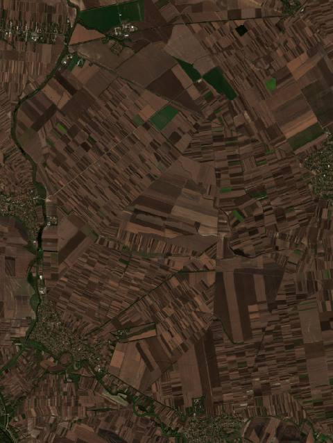 near Starčevo, Serbia4072 hectares · 7 years
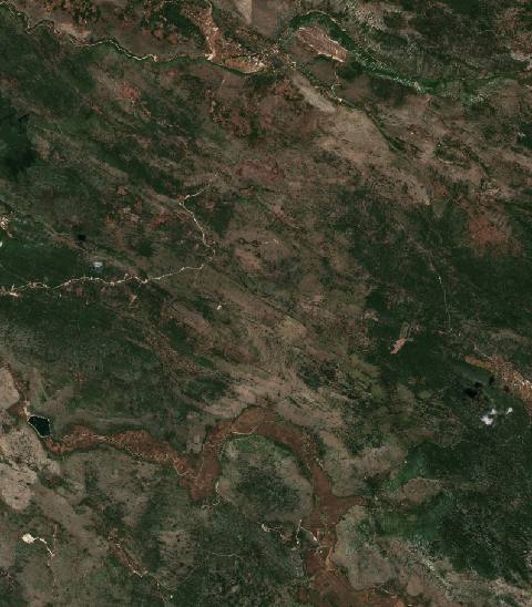 near Stolac, Bosnia and Herzegovina10,190 hectares · 10 years
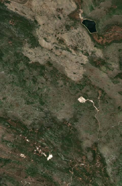 near Ston, Croatia2253 hectares · 10 years
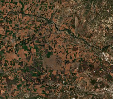 near Tecirli, Turkey7790 hectares · 10 years
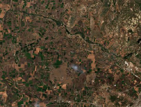 near Tecirli, Turkey8091 hectares · 8 years
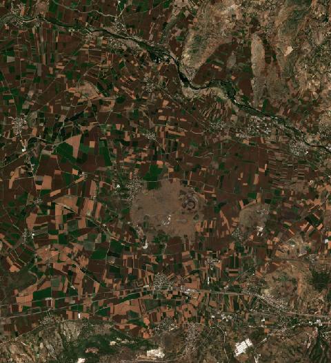 near Tecirli, Turkey7609 hectares · 7 years
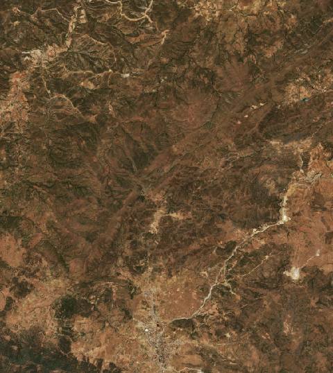 near Theniet el Had, Algeria6779 hectares · 8 years
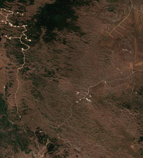 near Tomislavgrad, Bosnia and Herzegovina2793 hectares · 10 years
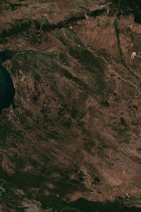 near Tomislavgrad, Bosnia and Herzegovina5174 hectares · 6 years
 near Torak, Serbia2237 hectares · 8 years
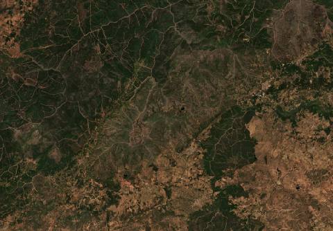 near Torrecilla de los Ángeles, Spain15,001 hectares · 4 years
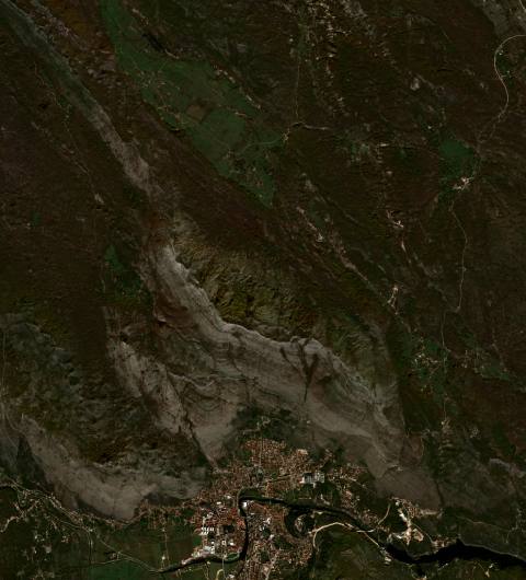 near Trebinje, Bosnia and Herzegovina2627 hectares · 10 years
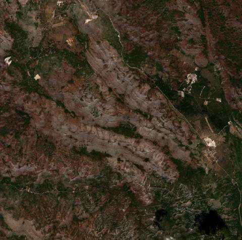 near Trebinje, Bosnia and Herzegovina2828 hectares · 6 years
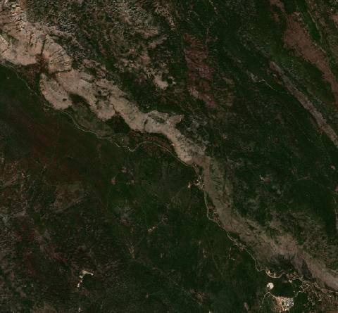 near Trebinje, Bosnia and Herzegovina2764 hectares · 6 years
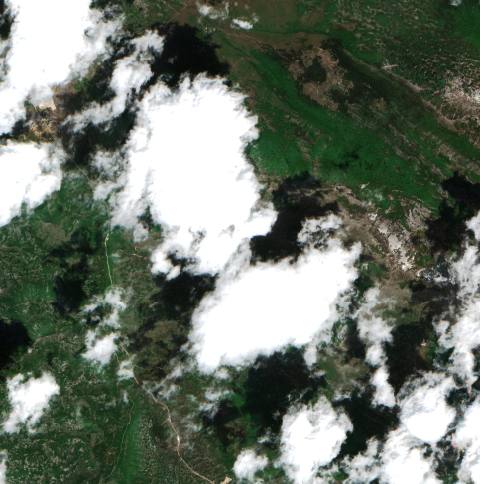 near Trebinje, Bosnia and Herzegovina2366 hectares · 5 years
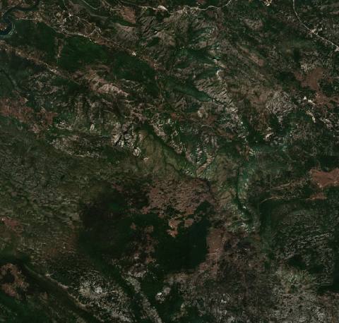 near Trebinje, Bosnia and Herzegovina2927 hectares · 5 years
 in Democratic Republic of the Congo185,850 hectares · 7 years
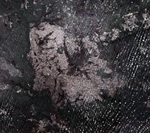 near Tuma, Russia75,528 hectares · 4 years
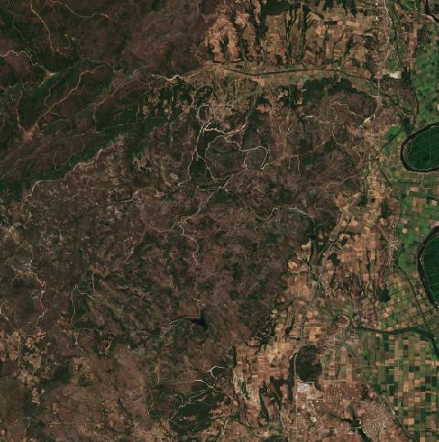 near Tycheró, Greece5649 hectares · 5 years
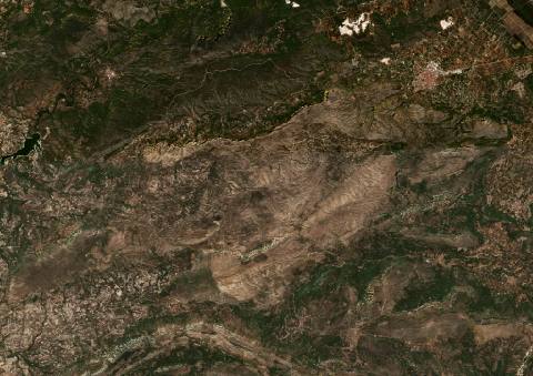 near Vall de Gallinera, Spain14,479 hectares · 5 years
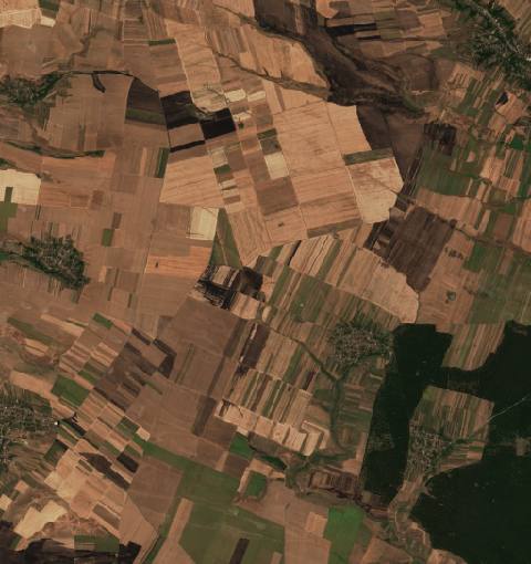 near Verbiţa, Romania2728 hectares · 11 years
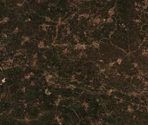 near Vila de Rei, Portugal5591 hectares · 8 years
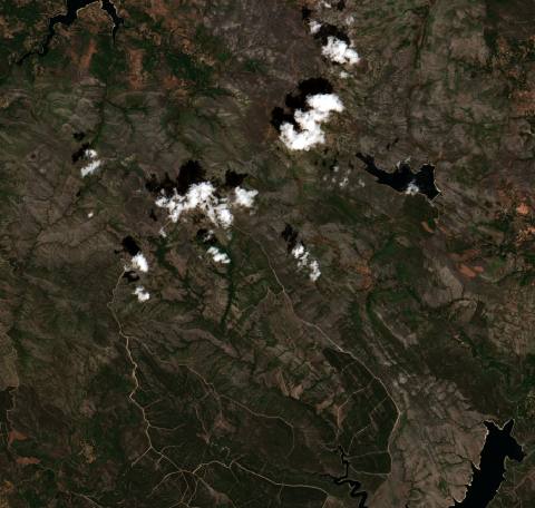 near Vilariño, Spain10,024 hectares · 5 years
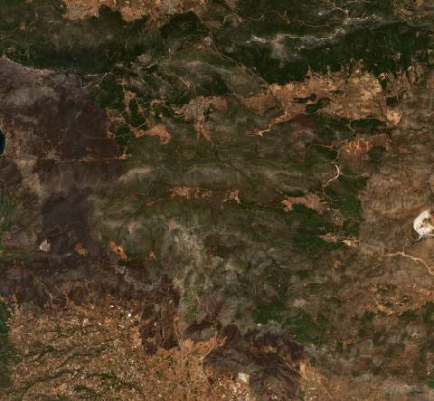 near Vília, Greece12,480 hectares · 6 years
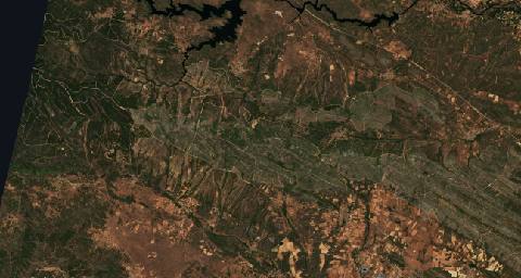 near Villardeciervos, Spain19,619 hectares · 5 years
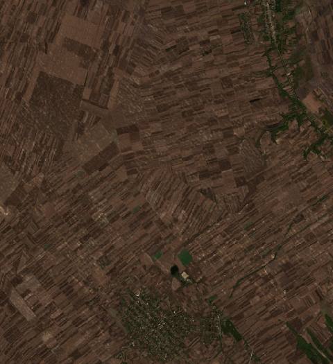 near Vladimirovac, Serbia3039 hectares · 7 years
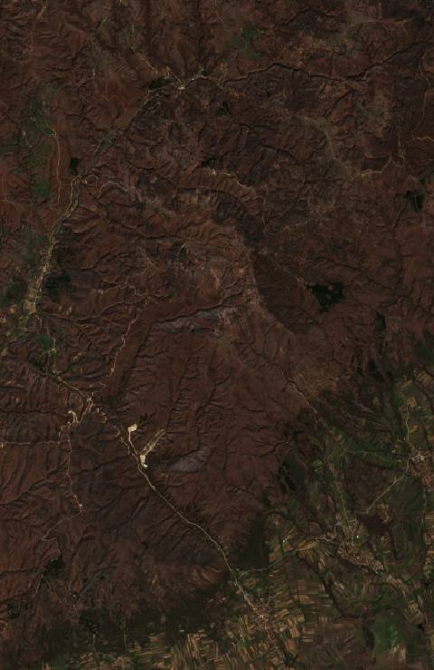 near Vranje, Serbia3246 hectares · 8 years
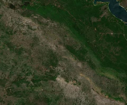 near Vrlika, Croatia3337 hectares · 7 years
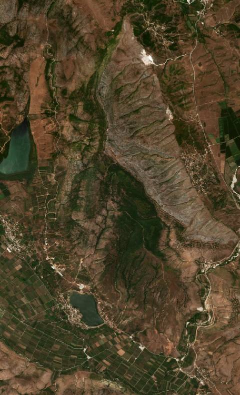 near Xarrë, Albania2043 hectares · 10 years
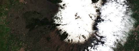 near Zafferana Etnea, Italy12,912 hectares · 6 years
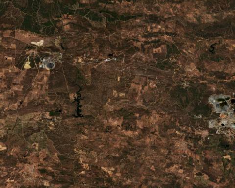 near Zalamea la Real, Spain12,035 hectares · 7 years
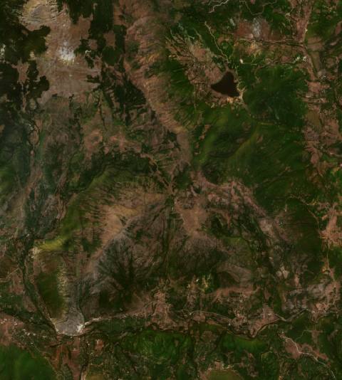 near Zerqan, Albania2706 hectares · 10 years
Contains modified Copernicus Sentinel data · imagery: Copernicus Sentinel-2 · operator: Digital Dynamics Kft. · Imprint · Privacy