Wildfires in Italy — what is burning right now?
Live overview of Italian wildfires: every burned area measured in the past 42 days, the nearest town for each fire, and day-by-day satellite image series for the biggest ones. Hotspot detections on the live map refresh every 20 minutes.
Map — hotspots and burned areas in Italy
Dots are satellite heat detections from the past 42 days — bright yellow is the last 24 hours. Brown outlines are measured burned areas: click one for size and dates. Photo pins open the day-by-day satellite image series of that fire.
Burned areas in Italy — past 42 days
| Area | First seen | Last seen | Nearest town | Satellite series | |
|---|---|---|---|---|---|
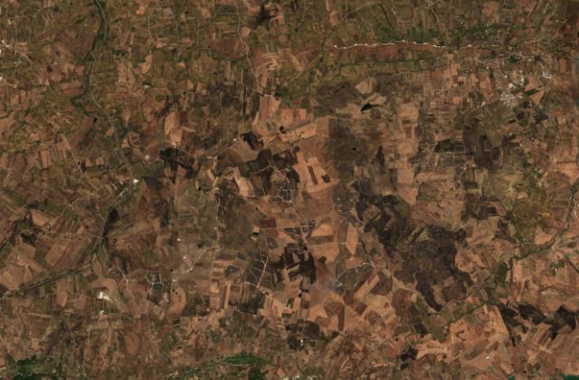 | 288 ha | Oct 7, 2026 | Oct 7, 2026 | Sasi | satellite series → |
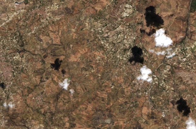 | 208 ha | Oct 5, 2026 | Oct 7, 2026 | San Biagio Platani · 4 km | satellite series → |
| 282 ha | Oct 4, 2026 | Oct 7, 2026 | Mezzogoro | — | |
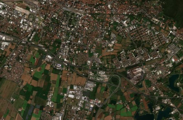 | 319 ha | Sep 12, 2026 | Oct 7, 2026 | Brescia · 6 km | satellite series → |
| 408 ha | Aug 24, 2026 | Oct 7, 2026 | Lonato | — | |
| 300 ha | Sep 12, 2026 | Oct 7, 2026 | Padua · 6 km | — | |
| 374 ha | Sep 24, 2026 | Oct 7, 2026 | Cremona · 6 km | — | |
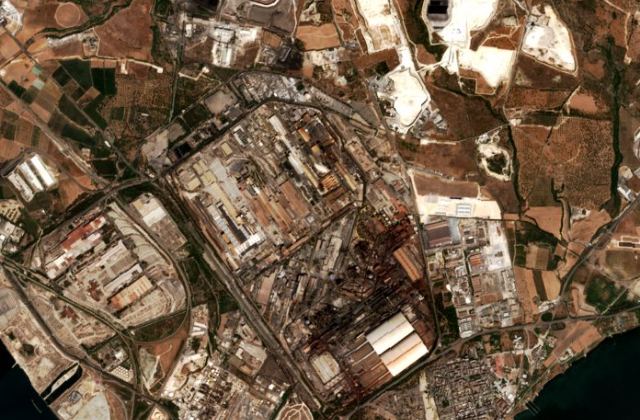 | 584 ha | Jul 19, 2026 | Oct 7, 2026 | Taranto · 6 km | satellite series → |
| 144 ha | Sep 27, 2026 | Oct 7, 2026 | Brindisi · 6 km | — | |
| 386 ha | Oct 3, 2026 | Oct 6, 2026 | Scala Coeli · 5 km | — | |
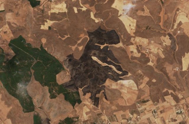 | 207 ha | Oct 6, 2026 | Oct 6, 2026 | Gravina in Puglia · 6 km | satellite series → |
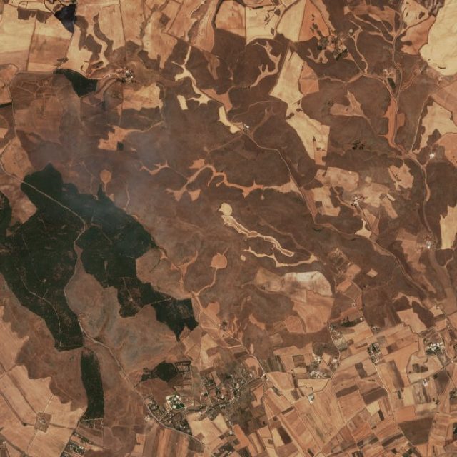 | 488 ha | Oct 4, 2026 | Oct 6, 2026 | Gravina in Puglia · 5 km | satellite series → |
| 311 ha | Oct 2, 2026 | Oct 6, 2026 | Ginosa | — | |
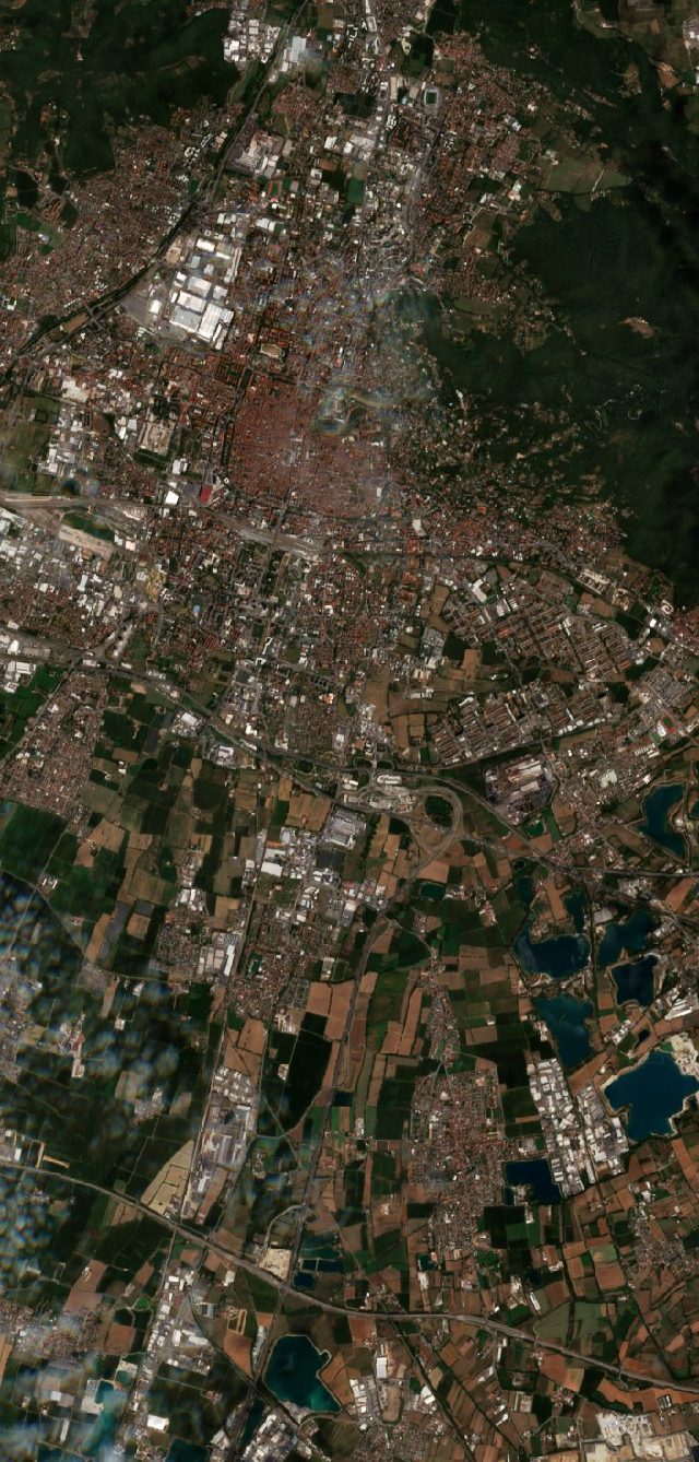 | 227 ha | Sep 13, 2026 | Oct 6, 2026 | Brescia · 4 km | satellite series → |
| 135 ha | Sep 27, 2026 | Oct 6, 2026 | Calusco d'Adda | — | |
| 351 ha | Oct 5, 2026 | Oct 5, 2026 | Scampitella | — | |
| 346 ha | Oct 5, 2026 | Oct 5, 2026 | Macomer | — | |
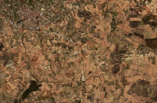 | 294 ha | Oct 2, 2026 | Oct 5, 2026 | Serradifalco · 8 km | satellite series → |
| 255 ha | Oct 2, 2026 | Oct 5, 2026 | Marineo · 4 km | — | |
| 242 ha | Oct 5, 2026 | Oct 5, 2026 | Villamassargia | — | |
| 236 ha | Oct 5, 2026 | Oct 5, 2026 | Lentini · 8 km | — | |
| 184 ha | Oct 5, 2026 | Oct 5, 2026 | Sartano | — | |
| 175 ha | Oct 5, 2026 | Oct 5, 2026 | Grottole · 9 km | — | |
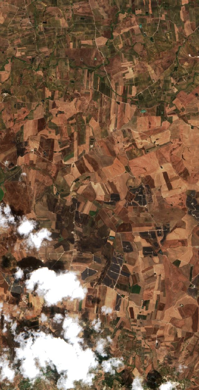 | 348 ha | Oct 3, 2026 | Oct 5, 2026 | Camporeale · 4 km | satellite series → |
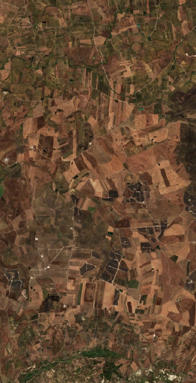 | 463 ha | Oct 2, 2026 | Oct 5, 2026 | Roccamena · 5 km | satellite series → |
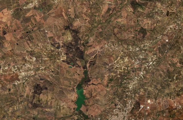 | 1,051 ha | Sep 3, 2026 | Sep 6, 2026 | Castelvetrano · 9 km | satellite series → |
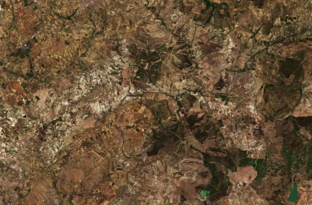 | 1,330 ha | Aug 29, 2026 | Sep 5, 2026 | Butera | satellite series → |
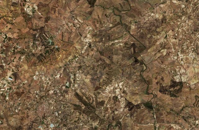 | 1,441 ha | Aug 27, 2026 | Sep 3, 2026 | Pietraperzia · 5 km | satellite series → |
Official Italian sources
For warnings, evacuations and anything safety-related, always rely on the official services:
Data. Hotspots: NASA MODIS & VIIRS (updated ~20 min). Burned-area outlines and sizes: Copernicus Emergency Management Service / EFFIS (CC BY 4.0). Satellite image series: Copernicus Sentinel-2. Place names: GeoNames (CC BY 4.0).
This page is for information only. Data is collected automatically without human review; satellite detection can lag, miss fires or trigger falsely. It is not an alert service and must not be used for safety decisions — follow the local authorities. Operator: Digital Dynamics Kft. · Imprint · Privacy